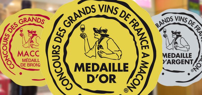
We are delighted to discover the results of the Concours des Grands Vins de France in Mâcon, which took place this weekend.We received 6 medals for our wines:🥇Pouilly-Fuissé 1er Cru “Aux Quarts” 2023🥇Juliénas “Réserve de Beauvernay”...
The image is a stylized map in the shape of a vertical drop, representing a portion of southern Burgundy around Mâcon. It shows the main road networks, municipalities, highway exits, and the location of several wineries.
General structure
The map is oriented with north at the top. It shows the A6 highway crossing the area from north to south, accompanied by a river (in blue) that also runs along the main axis. Several secondary roads (D906, D306, N79, A406) are also shown.
Major elements 1. Main towns
Mâcon, located in the upper part of the map, slightly to the right of the A6.
Belleville, located in the lower part, south of the map, to the left of the A6.
Chaintré, between Mâcon and Belleville, to the left of the A6.
Juliénas, west of Chaintré.
2. Highway exits
Exit 29 – Mâcon Sud, located just below Mâcon, to the right of the A6, indicated by a black box.
Exit 30 – Belleville, located south of Chaintré and Juliénas, to the left of the A6, also indicated by a black box.
3. Wine-related points of interest
They are indicated by gold dots:
Cave de Chaintré: at the level of the village of Chaintré.
Cave de Juliénas: to the west, towards the village of Juliénas.
The wineries are clearly highlighted, each associated with its village.
A third point, Le Moulin à l’Or, is indicated in the center, between Mâcon Sud and Chaintré, with a white circle.
4. Secondary municipalities
They appear in small print:
Crèches-sur-Saône, east of Chaintré.
La Chapelle-de-Guinchay, southeast of Chaintré.
5. Road networks shown
A6: central highway axis connecting Mâcon, Chaintré, and Belleville.
N79: starts from Mâcon towards the west.
A406: connects Mâcon to the east.
D906 and D306: roads parallel or perpendicular to the indicated villages.
6. Directional signs
Several arrows carry text indications:
“Towards Chalon, Dijon, Paris” to the north.
“Towards Nevers, Moulins, Montceau-les-Mines” to the west.
“Towards Bourg-en-Bresse” to the east.
“Towards Lyon, Marseille” to the south.
7. Geographical setting
In the bottom right, a shape representing France shows a point locating the approximate region (east-central part of the country).